
Take a Trip- St. Croix River Valley
Talk to the vast majority of paddlers, and they’ll likely tell you: While they enjoy the act of paddling, it’s the sights, sounds, smells and connection with nature that the real passion for paddling comes from.
Every part of the US has its own natural attractions and unique landscapes that make for wonderful and memorable paddling experiences. One of the most beautiful paddling areas in the Upper Midwest is the St. Croix River valley.

It also happens to be a convenient distance from the Twin Cities—and in the backyard of Bending Branches’ headquarters!
St. Croix River National Scenic Waterway
The St. Croix River is a 169-mile tributary of the Mississippi River. Its lower 125 miles form the border between Wisconsin and Minnesota. This National Scenic Waterway is under the protection of the National Park Service, and also includes the Namekagon River in Wisconsin.

(map from the National Park Service)
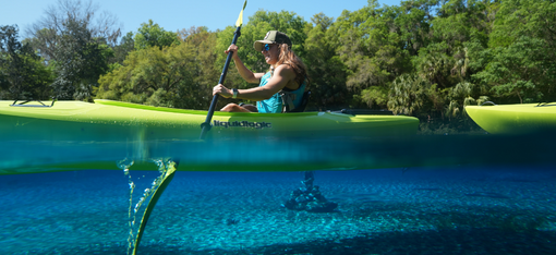
Incredible beauty greets you at every bend—several state parks with protected forests, rocky palisades, rapids and waterfalls. If you plan your trip in early to mid- autumn, the colors you’ll witness are truly breathtaking.

(photo courtesy of Sharon Brodin)
Lodging and Camping
A multi-day trip down the St. Croix is a great way to see many miles of the river by canoe or kayak. There are several towns along the river bank in both Minnesota and Wisconsin with a variety of lodging and eating options at each.
There are also many camping options along the Waterway—from state parks to private campgrounds to primitive shoreline campsites accessible only from the water. This page from the National Park Service is a great resource to plan your paddle and camping trip.
Of course day trips are an option, too, with many launch points along the river on both the Minnesota and Wisconsin sides. Either bring your own watercraft or arrange a rental with one of the many outfitters in the area. There are also businesses that offer guided trips for groups on the St. Croix.

(Bending Branches Employee Paddling Trip - Inside Sales and Service Representative, Brian Boyea)
Recommended Paddle Routes
The National Park Service website provides a page of Ranger Recommended Paddles, with route suggestions. These include:
- The 8-mile Wild River stretch in the Middle St. Croix. This route features Class I and II rapids and plenty of wilderness feel, as it flows through protected forest areas.
- The 6.6-mile St. Croix Dalles portion flows through a deep gorge of basaltic rock. It ends at Osceola Landing (Bending Branches’ hometown!). This stretch is described as “one of the Riverway’s greatest treasures.”
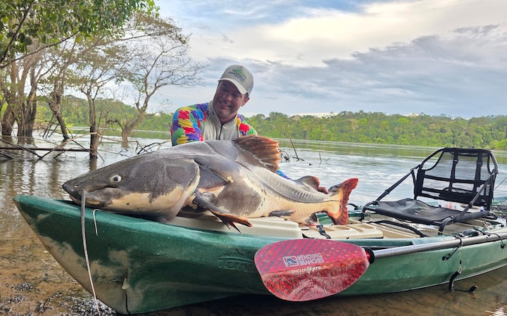
- The 10-mile stretch starting just below Highway 70 is noted for its great smallmouth bass fishing.
The Upper and Upper-Middle St. Croix are generally wilder, narrower and quieter, flowing through some state park land and other forested areas. As it widens, the Lower-Middle and Lower St. Croix become more populated with motorboat traffic.
With its easy distance from the Twin Cities area, its beauty and many route options—both day trip and multi-day trip—the St. Croix River is truly one of the top paddling destinations in the Upper Midwest.

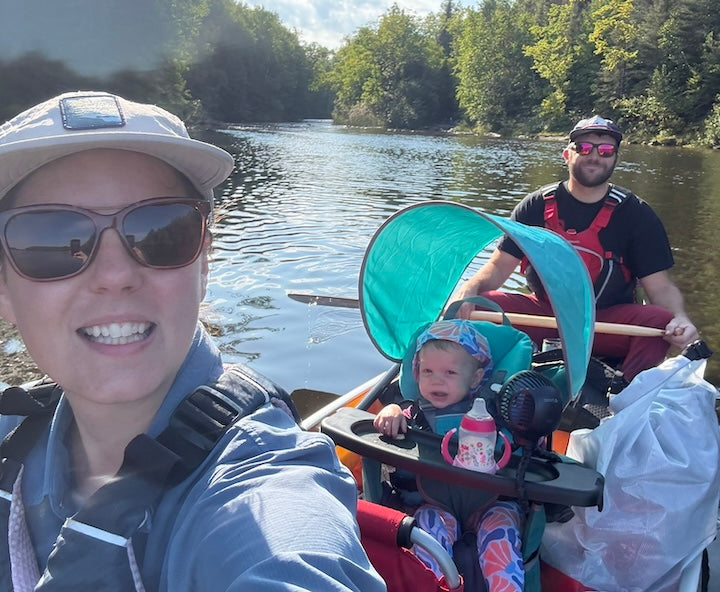
(Bending Branches Employee Paddling Trip - Inside Sales and Service Representative with his daughter, Mark Eskro)
Other links/resources
- Basic map of the St. Croix Waterway by the National Park Service.
- Detailed Map of the St. Croix Waterway by the National Park Service. Includes campgrounds, landings and picnic areas.
Happy Paddling!